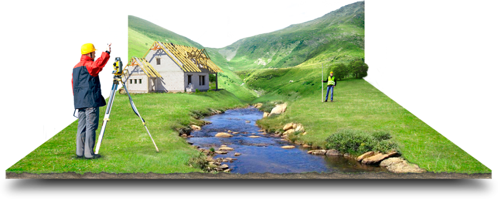
Geodetic works and construction support
This is an important part of construction work. Geodetic work involves measuring, computing and design work in drawings and in nature. As a result, it is possible to accurately and expediently place objects in accordance with the parameters of a particular project, as well as in accordance with the requirements of regulatory documents.
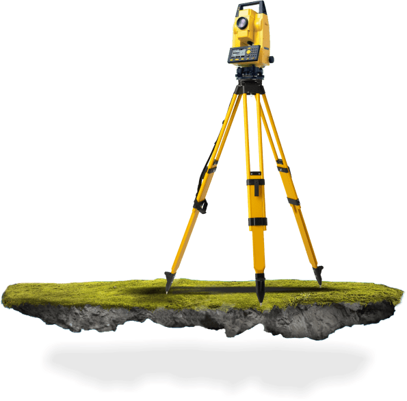
Measurement works
A set of works focused on determining the actual (real at a given time) geometric dimensions of buildings, structures, interiors and building structures using special measuring instruments.